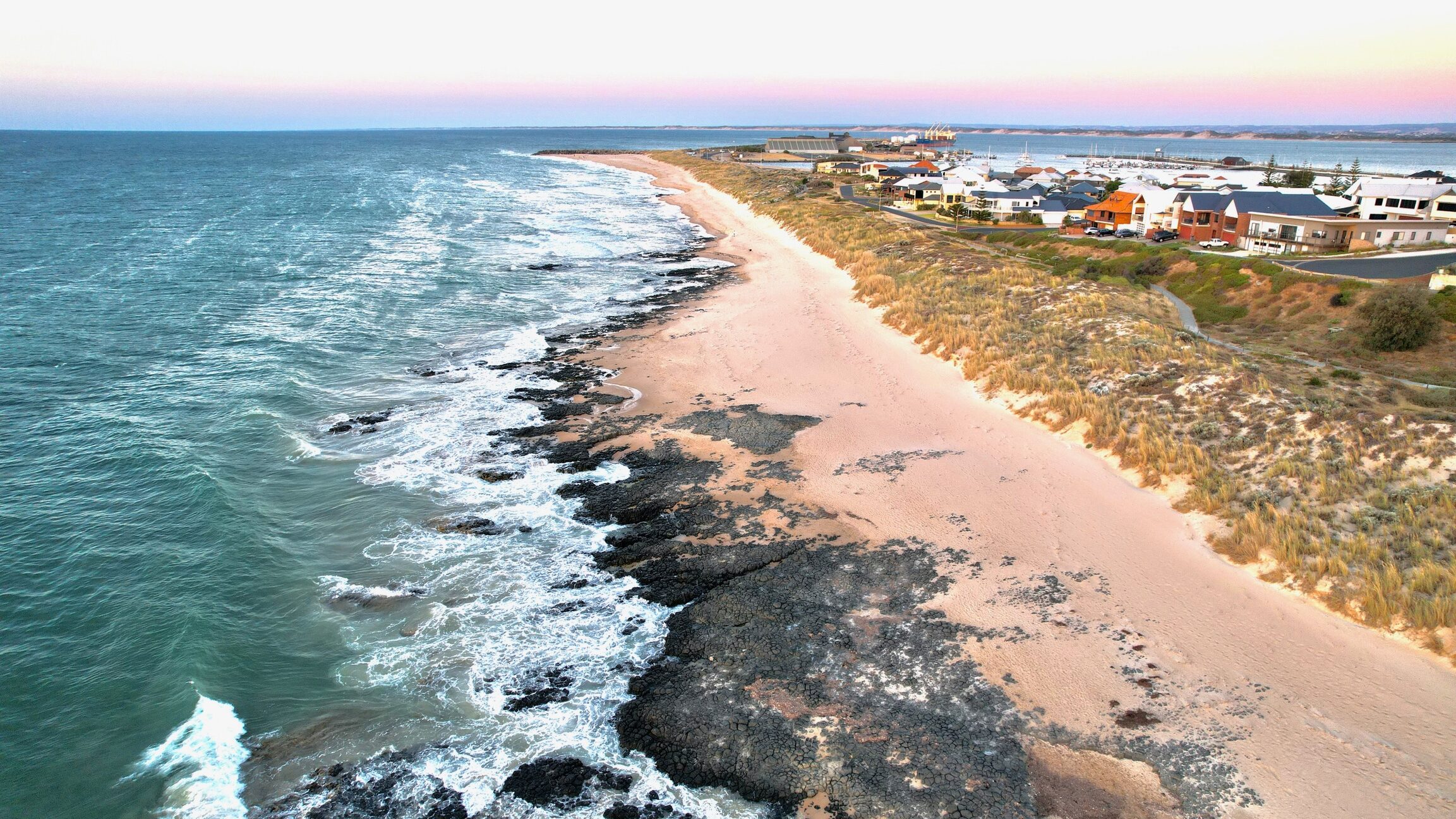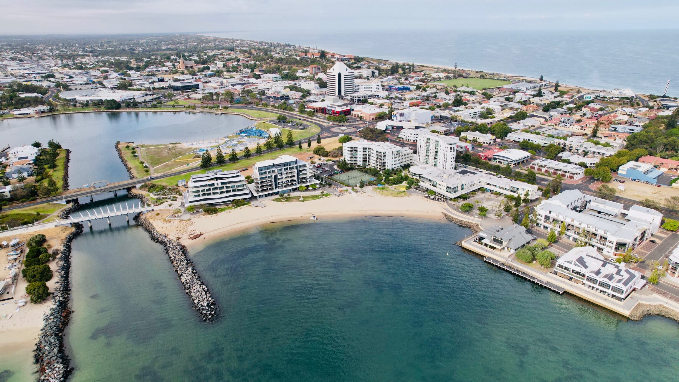

Our coast is highly valued providing us with places and spaces to live, do business, be active and enjoy.
However, the coast is mobile – it is constantly changing through storm events and the changes that humans make to the coastline.
There will also be further changes because of climate change, such as sea level rise and potentially more severe storm events. These coastal changes are now becoming much more noticeable and happening more rapidly. For this reason, local governments throughout Western Australia have been undertaking studies to understand the impacts of these coastal processes, particularly where people live.
Peron Naturaliste Partnership
Peron Naturaliste Partnership
City of Bunbury is a member of the Peron Naturaliste Partnership (PNP), which comprises the membership of nine local government authorities between Cape Peron and Cape Naturaliste in the South West of Western Australia – Bunbury, Busselton, Capel, Dardanup, Harvey, Mandurah, Murray, Rockingham, Waroona.
Through the City’s PNP membership, the City joined a Steering Group with the Shires of Capel, Harvey and Dardanup, Southern Ports Authority and the Department of Biodiversity, Conservation and Attractions to commission consultants to produce the Capel to Leschenault CHRMAP.

CHRMAP Development and Purpose
The City of Bunbury CHRMAP was developed as part of the Capel to Leschenault CHRMAP.
The purpose of the City of Bunbury CHRMAP is to provide strategic guidance for coordinated, integrated, and sustainable decision making for future coastal land use planning, including management or, and adaptation to, these coastal hazard risks.
The City of Bunbury CHRMAP describes risk management actions to be undertaken to achieve preferred risk treatments. Coastal hazard vulnerabilities were addressed by dividing the City’s shoreline into five management units, recommending adaptation pathways and options to manage the coastal erosion and inundation risk, to give preliminary direction for future investigations and funding opportunities.
Following this work, the intent is for the CHRMAP to be reviewed, and the recommended options will be updated to take the new information into consideration.
The draft CHRMAP was publicly advertised for 12 weeks (ending 16 June 2023) and the comments received were considered when finalising the City of Bunbury CHRMAP.
The final version of the City of Bunbury CHRMAP (below) was endorsed by Council at the OCM on 23 April 2024.
If you would like to receive updates on the CHRMAP please email us via the link below and we will add you to our database.
CHRMAP Summary Report
The CHRMAP Summary Report has been developed to distil the technical CHRMAP information, to put it simply and graphically, and to include frequently asked questions and a description of how the community may be affected. The Draft CHRMAP Summary Report, in its current form, gives a comprehensive and detailed overview of the CHRMAP process that is helpful to read and understand.